

Donate


Elora Cataract Trailway Association
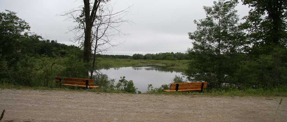
ECT at Gartshore St, Fergus, Ontario
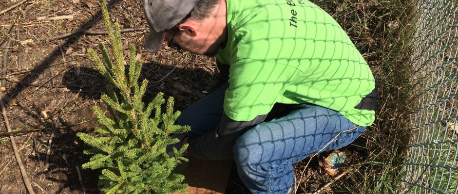
Tree planting and stewardship

Read about certain CVC Sections of the Trailway closed until 2025
Closure until 2026, Read Detail HERE
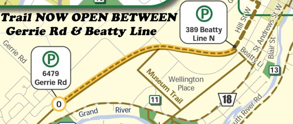
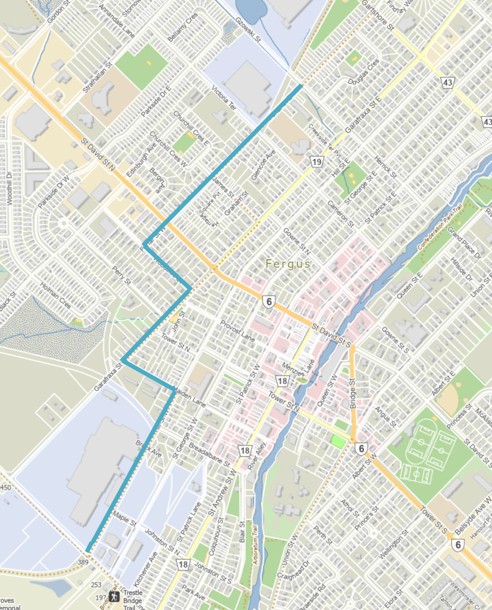
NEW – Detour through Fergus 2024
The Garafraxa Street and St. David Street intersection is closed from July 15 through December 15, 2024, for sewer, watermain and street upgrades. Its closure impacts the Trailway route through Fergus.
The attached map shows the proposed detour, using Gzowski Street, Forfar Street, Woodside Street, Garafraxa Street, Maiden Lane and Hill Street to access the east and west sections of the Trailway at Fergus. Click on image below to enlarge.

While construction of the linear works for the Erin Wastewater System Project and restoration is ongoing, the trail will be closed to the public. Sections of the trail are now closed for approximately 22 months lasting until June 2025. The CVC-owned portion of the ECT between 6th Line and Trafalgar Road in Hillsburgh and the portion between 10th Line, Erin Village to Cataract Road, Town of Caledon will remain open during construction. For more information on project timelines and construction updates, visit the Town of Erin’s Wastewater System Project webpage at erinwastewater.ca. For more information and updates go to www.cvc.ca/park-advisories/ and www.erinwastewater.ca
UPDATE – FALL 2024 – Erin officials rescoping Elora-Cataract Trail wastewater project due to ‘environmental requirements.’ Closure until 2026
UPDATES – Section of Elora Cataract Trailway to be closed for 5 months. The ECT between the western limit of the Erin Glen subdivision and 10th Line will be closed until September. Details at https://www.erin.ca/newsroom/public-notices/erin-glen-subdivision-related-construction-work-on-elora-cataract-trailway-begins-april-22.

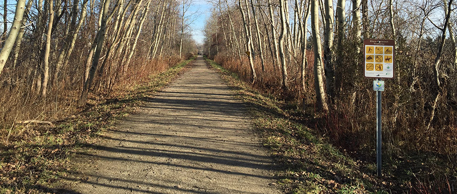
Enjoy our forty-seven kilometre trailway linking the Credit River Watershed to the Grand River Watershed and communities along the way.
Download our new map as a PDF or use our RideWithGPS map to explore and navigate.
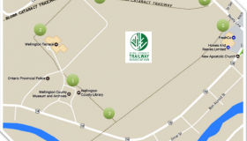
Download the Fergus-Aboyne Four Trail Loop map, approx. 1 hours loop. You can start either at Beatty Line Park lot of Wellington County Museum and Archives. DOWNLOAD MAP

Memberships and donations help us fund Trailway improvements and capital projects.